Drone / UAV Survey & Mapping
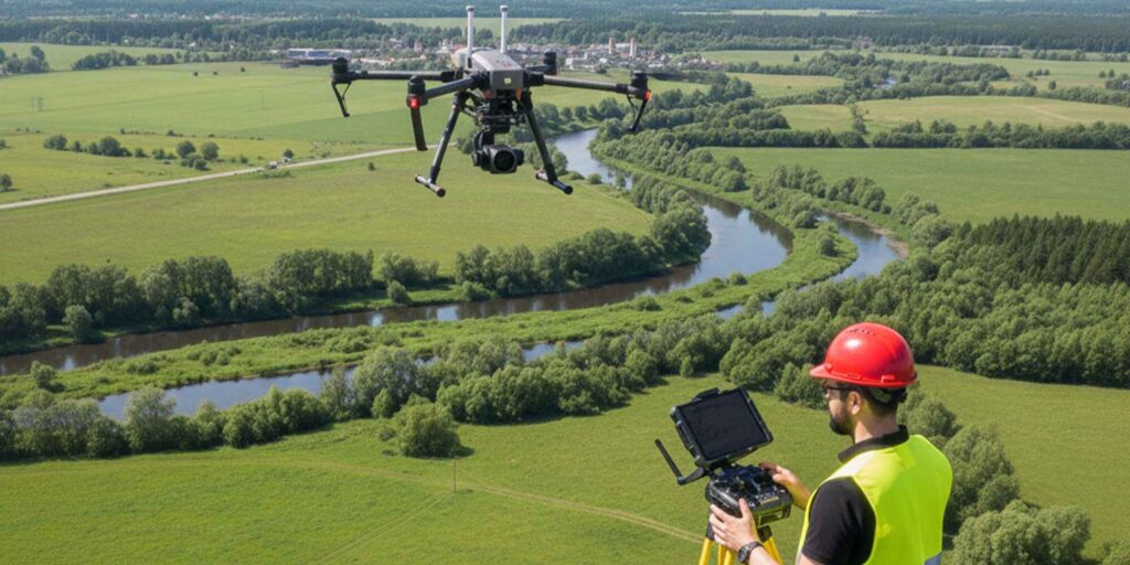
Our Drone/UAV Survey & Mapping service leverages advanced drone technology to capture high-resolution aerial imagery and create accurate maps, 3D models, and orthophotos of your site. This allows for rapid, precise surveying of large or difficult-to-access areas with minimal disruption.
This service is ideal for topographic mapping, construction monitoring, infrastructure inspection, land development, and environmental studies. By providing detailed, real-time data from the air, we help engineers, planners, and project managers make informed decisions, improve design accuracy, reduce fieldwork time, and enhance overall project efficiency.