Bathymetric Survey
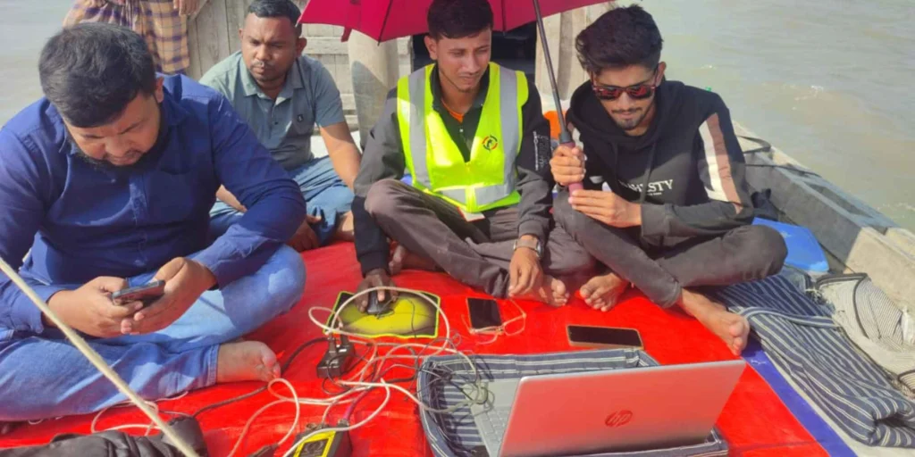
Our Bathymetric Survey service delivers accurate measurement and mapping of underwater depths and features of rivers, lakes, canals, reservoirs, and coastal areas. Using specialized equipment, we collect precise depth data, underwater contours, and seabed profiles to understand the true condition of submerged terrain.
This information is essential for marine and hydraulic engineering, river training works, dredging planning, bridge and jetty design, navigation safety, and environmental studies. By providing reliable bathymetric data, we support safe design, efficient construction, and effective management of water bodies, helping projects achieve long-term stability and performance.