Drone LiDAR Survey
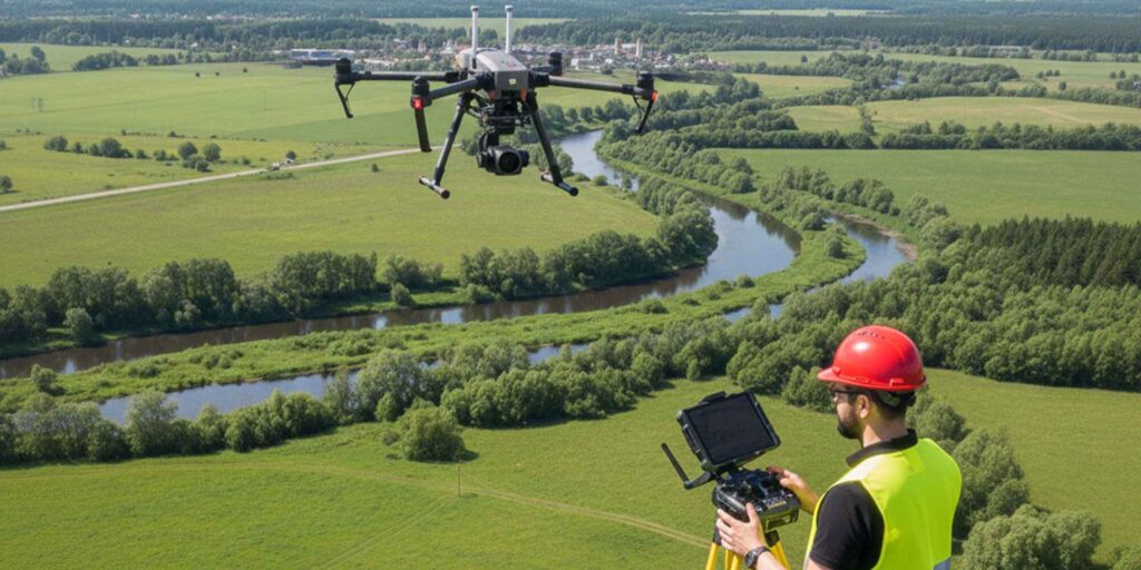
We provide advanced drone-based LiDAR survey services to deliver high-resolution and highly accurate terrain data for large, complex, and hard-to-access project areas. Our LiDAR solutions support precise surface modeling, engineering analysis, and efficient project planning across a wide range of infrastructure and development projects.
Our drone LiDAR survey services include:
- High-Resolution Terrain and Surface Modeling – Accurate Digital Terrain Models (DTM) and Digital Surface Models (DSM) for engineering and design applications.
- Detailed Contour Generation – Clean and reliable contour maps at required intervals for planning, design, and earthwork analysis.
- Volumetric and Stockpile Analysis – Precise cut-fill and stockpile volume calculations for construction, mining, and dredging support works.
- Large-Area and Complex Site Mapping – Rapid and safe data collection over wide, rugged, vegetated, or inaccessible areas.
- Vegetation Filtering and Ground Classification – Separation of ground and non-ground points for accurate bare-earth modeling.
- Corridor and Linear Project Surveys – LiDAR mapping for roads, railways, transmission lines, and pipelines.
- Change Detection and Progress Monitoring – Repeat surveys for construction progress tracking and terrain change analysis.
Using state-of-the-art drone platforms, LiDAR sensors, and professional data processing workflows, we deliver reliable, survey-grade outputs that support design, planning, monitoring, and decision-making for infrastructure, environmental, and engineering projects.
Get in touch !
Address
B-8-1/7-C, Zarin Mazeda Green Palace (Level-7), Pourashava Road, Anandapur, Savar, Dhaka, Dhaka, Bangladesh
Phone
info@surfacesurveybd.com